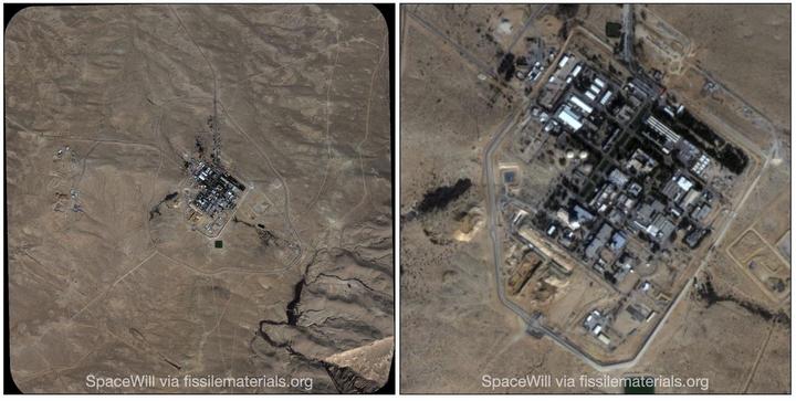
Commercial satellite imagery obtained by the IPFM shows significant new construction at the Dimona site in Israel, officially known as the Negev Nuclear Research Center. The imagery was acquired by the SuperView-1 (SV-1) satellite on Monday, 4 January 2021. The construction site is located in the immediate vicinity of the buildings that house the nuclear reactor and the reprocessing plant (to the south-west from the buildings, around the point with coordinates 31.000, 35.143). It can be seen on the satellite image posted below.
 SuperView-1 image from 4 January 2021 at 2-meter resolution. Credit: SpaceWill
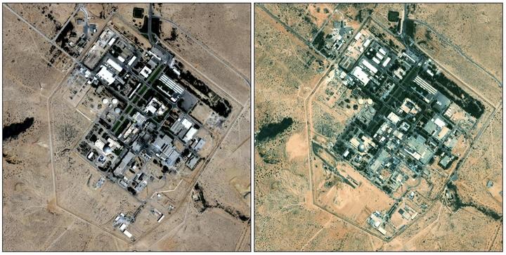
The exact date the construction began is uncertain. The last satellite image available from Google Earth, which was obtained in September 2011, does not show any activity at the site. The first signs of construction are visible on an image available from the HERE WeGo service (the date of that image is unknown).
The 2021 image shows that the construction has expanded and appears to be actively underway with multiple construction vehicles present. At this stage, the construction appears to be centered around a large-scale excavation area with the size of about 140 meters by 50 meters. The purpose of this construction is unknown.
 Satellite images of the Negev Nuclear Research Center. Left: Google Maps, September 2011, right: HERE WeGo, date unknown.
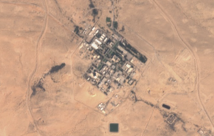
UPDATE 2/19/2021: The construction apparently began in late 2018 or early 2019 (via Samir @obretix).
